World bank concludes Harare cholera hot spot study supported by WWX
WOP between VEI and the City of Harare as part of the WaterWorX Programme
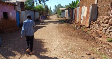
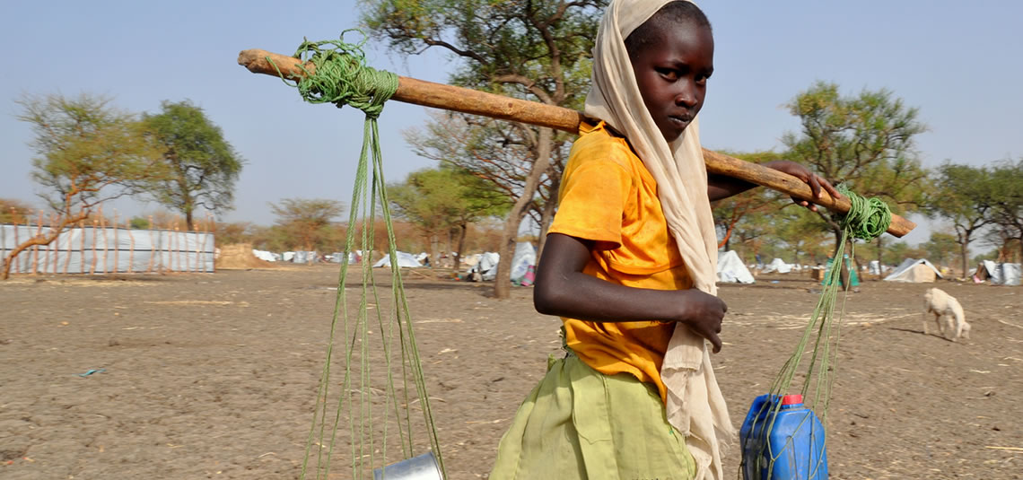
In 2018 the Southern suburbs of Harare were hit by a cholera/typhoid outbreak, infecting more than 9.700 residents and 46 people died. Because cholera outbreaks can have multiple causes, the World Bank decided to conduct an in-depth geo-spatial analysis of the possible causes. Many criteria and databases were studied such as: contaminated water sources (boreholes, shallow wells), sanitation solutions and sewer overflows, food and public markets, solid waste management, drainage (and elevation), temperature and rainfall and interruptions in piped water supply.
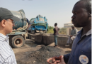
To be able to conduct this multi-criteria analysis enormous amounts of data needed to be digitized. This was done through VEI/WaterWorX and the City of Harare using a group of 12 students supervised by the Harare GIS department.
In the period May-October the following data were digitized and geo-coded:
- 362 public markets (field visits to determine boundaries and activities)
- 24.713 sewer and 7.179 water bursts from January 2018-March 2019
- water quality data samples for 23 sample points in 2018
- 9.890 cholera cases
- water and sewer pipes (ongoing exercise)

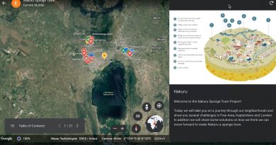
Map of geo-coded cholera cases in 2018
The analysis ultimately was visualized in a risk matrix (below) in which the occurrence of the reported cholera cases was statistically linked to the potential causes. The study finds that the highest risk for cholera outbreaks is in areas where frequent sewer overflows occur and where residents depend on public boreholes/shallow wells due to a failing piped water supply. This indicates that future investments mainly should focus on:
- quick repairs of blocked/collapsed sewers and unblocking blocked sewers as well as
- increase of the piped water supply to avoid people drinking from contaminated alternative water sources

Risk matrix for occurrence of cholera
Currently, the same group of 12 students is working on the georeferencing and digitization of all sewer and water pipes because the current GIS is incomplete and outdated. Therefore 3.700 original drawings were scanned. This process is supported by WaterWorX and due in April/May 2020. The updated GIS serves as an important basis for further steps to determine the scale and costs to repair/replace/extend sewer and water infrastructures in the cholera hot spots and areas at risk. WaterWorX will elaborate this exercise together with the World Bank and will draft an investment proposal.